|
| *****SWAAG_ID***** | 613 |
| Date Entered | 28/09/2012 |
| Updated on | 28/09/2012 |
| Recorded by | Tim Laurie |
| Category | Tree/Shrub Record |
| Record Type | Botanical HER |
| Site Access | Army Range |
| Record Date | 08/01/2006 |
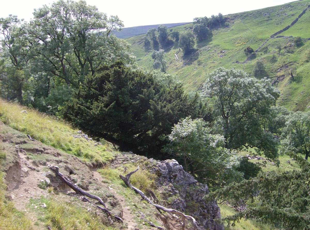
| Location | Throstle Gill. Limestone Scar on lower dale slope, 100m above east bank of stream. |
| Civil Parish | Marske |
| Brit. National Grid | NZ 08517 08565 |
| Altitude | 281m |
| Geology | Small cliff formed by the Underset Limestone. |
| Record Name | Throstle Gill Scar. Specimen Yew with ash, wych elm, rowan, elder, hawthorn etc. |
| Record Description | This fine yew and the woodland community which also grows on this small cliff is characteristic of the many fine yews to be seen on the smaller and seldom visited or seen limestone scars of the North Bank Tributary streams of the Swale. |
| Dimensions | See photos |
| Image 1 ID | 3417 Click image to enlarge |
| Image 1 Description | View of the Scar and yew from the north. | 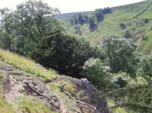 |
| Image 2 ID | 3418 Click image to enlarge |
| Image 2 Description | Detail of the base of the multi stemmed yew from above. | 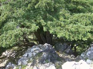 |
| Image 3 ID | 3419 Click image to enlarge |
| Image 3 Description | View of the Scar and yew from the south. | 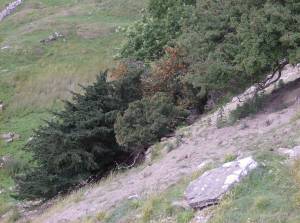 |